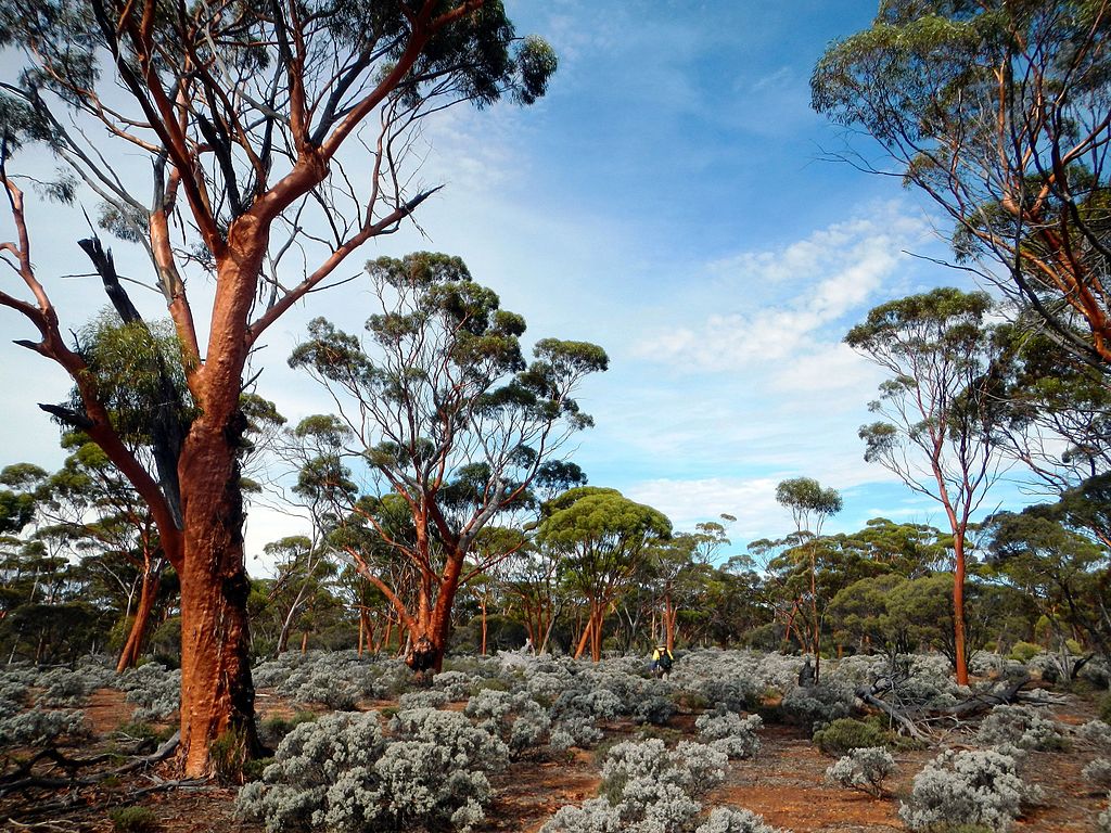
 The Great Western Woodlands, the largest temperate woodland in the world, is also the site of mining activity and grazing activities. Intersecting the woodland is a substantial network of roads and tracks to service these activities. Linear infrastructure is often viewed as insubstantial, but cumulatively it can significantly impact the natural environment and occupy a much larger footprint than the main infrastructure (e.g. the mining pits).
That is what CEED's Dr Keren Raiter , Prof Richard Hobbs and Prof Hugh Possingham found when they quantified the cumulative development footprint of infrastructure in the Great Western Woodlands.
They found that 67% of the total direct development footprint was linear infrastructure, which was predominantly unmapped and had to be manually detected from aerial imagery.
Whilst the direct development footprint was 690 km 2 of the Great Western Woodlands area (160, 000 km 2 ), edge effects were very high due to the significant linear infrastructure, and added another 4000 - 55, 000 km 2 to the development footprint.
Citation:
Raiter KG, SM Prober, RJ Hobbs & HP Possingham (2017). Lines in the sand: quantifying the cumulative development footprint in the world’s largest remaining temperate woodland. Landscape Ecology.
https://link.springer.com/article/10.1007/s10980-017-0558-z